44A, Dokki St., Misr Insurance Rear Tower, Floor 12 – Flat 125, Giza, Egypt

- Home
- /
- Projects
- /
- Geotechnical
- /
- Site Investigation + Laboratory Testing
- /
- Abu QIR CCGT
Abu QIR CCGT

|
DATE |
February 2016 |
|
CLIENT
|
Global Energy - Member of TAQA Arabia
|
|
LOCATION |
Abu Qir, Alexandria |
|
DESCRIPTION |
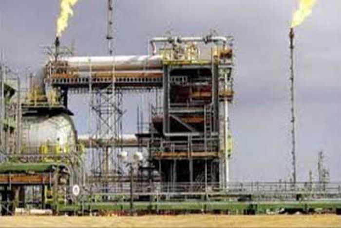
The site of the project lies close to the Mediterranean coast in the western Nile Delta on the west side of the Rosetta Nile Branch and northeast of Alexandria City. It is located 22km to the west of Idku City, 15 km from Lake Idku, and 18 km northeast of Alexandria City. The site is a low-lying flat sabkha area, with ground elevations ranging between +1.65m and +1.80m MSL. The site is adjacent to the Mediterranean coast to the north, and therefore, the local soil and air environment is known to be highly salty. The altitude of the site is close to sea level (average +2.0m MSL). The prevailing winds are from the north-west and sandstorms are frequent in the spring. The minimum air temperature is reported as 5°C. Rainfall is reported to be as high as 30 mm in 24 hours. |
|
PROGRAM OF WORK
|
One borehole down to a depth of 30.0m Four boreholes down to 25.00m Two boreholes down to a depth of 20.0m One borehole down to a depth of 15.0m Two boreholes down to a depth of 5.0m. Disturbed samples were collected by means of Single Core Barrel and Standard Penetration Split Barrel Samplers; undisturbed sampling was collected by means of using Shelby tube sampler. Nine CPTUs (Electric Cone Penetration Test) with pore water measurements down to maximum capacity of the machine. Three Piezometers down to a depth of 20.0m Eight electrical resistivity tests One Down-Hole Seismic Test One pumping test |
