44A, Dokki St., Misr Insurance Rear Tower, Floor 12 – Flat 125, Giza, Egypt

- Home
- /
- Projects
- /
- Geotechnical
- /
- Site Investigation + Laboratory Testing
- /
- WEST NILE DELTA ONSHORE GAS TERMINAL
WEST NILE DELTA ONSHORE GAS TERMINAL

|
DATE CLIENT |
September 2012 Bechtel Overseas Corporation |
|
LOCATION |
Northeast of Rashid, Egypt |
|
DESCRIPTION |
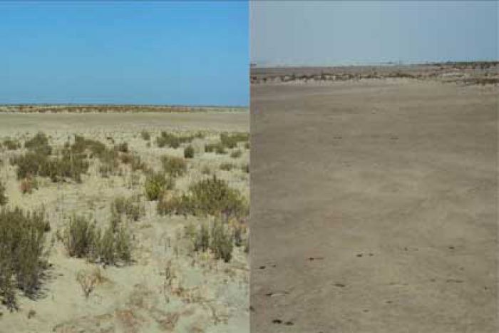
The Project is to be located in the western Nile Delta, approximately 55kms to the north east of Alexandria, on the east side of the Rosetta Nile promontory. The approximate location overall of Site D3 is the north north-east of Rashid on the east side of the Rosetta Nile channel. The main site covers an area of approximately 2.5 km2. The 200m wide import line corridor extends from the northern boundary of the main site to the Mediterranean. The 50m wide access road corridor extends south, starting from the south-eastern corner of the main site and meeting the International Coastal Road. The areas are low lying with ground elevations generally ranging between approximately -0.4m to +2.8m MSL, although there are backshore depressions with surface salt crusts and shallow groundwater and occasionally standing water. It is envisaged that parts of the Site are subject to flooding during high spring tides. |
|
PROGRAM OF WORK
|
Twenty boreholes 60.0m deep Four boreholes 55.0m deep Nine boreholes 50.0m deep Eight boreholes 45.0m deep Three boreholes 35.0m deep Four boreholes 30.0m deep Three boreholes 20.0m deep Three boreholes 15.0m deep Four boreholes 10.0m deep Four piezometers 10.0m deep Nine piezometers 5.50m deep Ninety-two PCPT tests at depths varying from 6.0 to 38m with dissipation test 50 Field Vane tests Geophysical survey including: down-hole seismic testing, electrical resistivity test, and thermal resistivity test |
|
|
The samples were collected by continuous coring technique using Mazier, thin wall tube, piston sampler, and SPT. |
